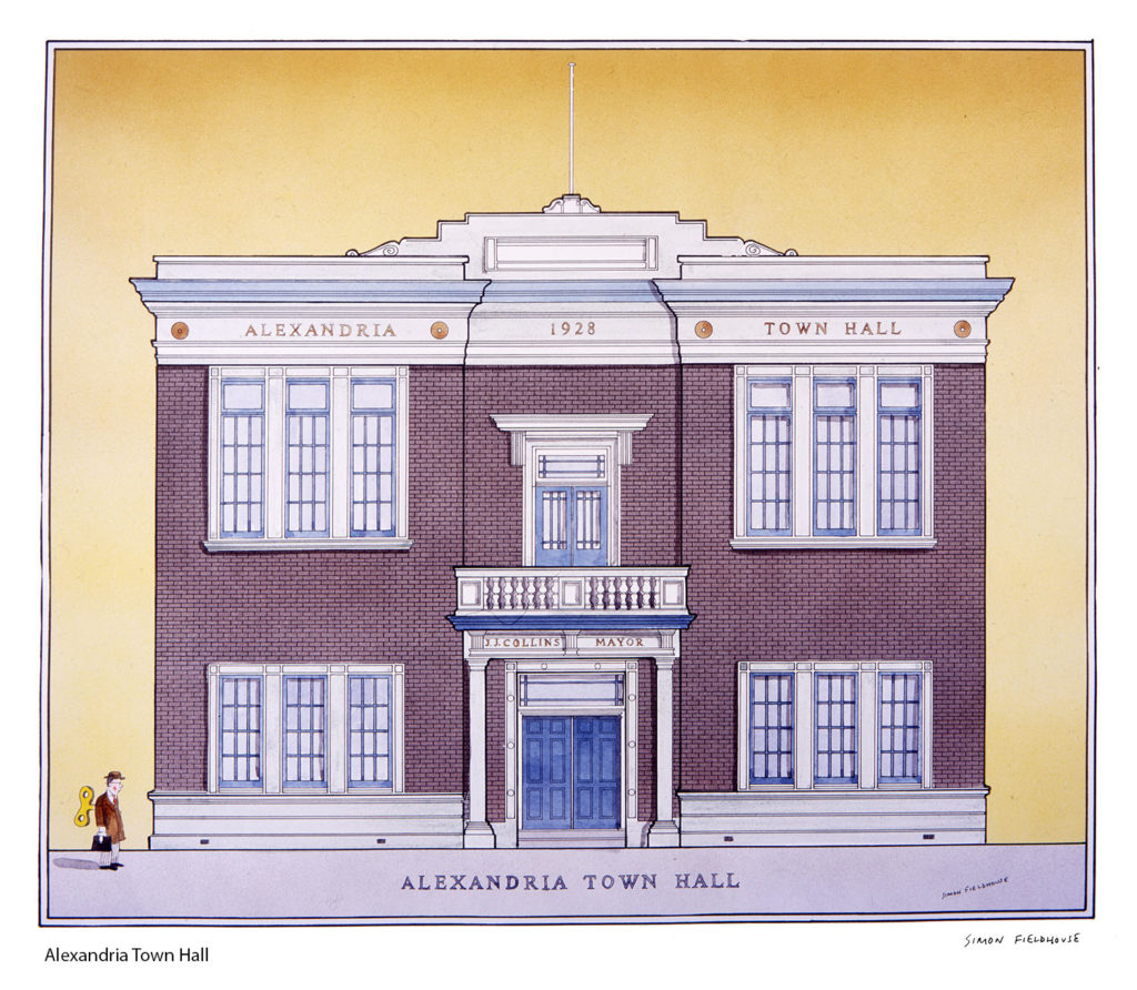
Alexandria Town Hall
Alexandria Town Hall; Alexandria is a suburb in the inner-east of Sydney, New South Wales, Australia. Alexandria is located 4 kilometres south of the Sydney central business district and is part of the local government area of the City of Sydney. The postcode is 2015.The rough boundaries of Alexandria are Botany Road to the east, Gardeners Road to the south, Mitchell Road and Sydney Park to the west, and Boundary Road to the north. It is approximately 2 km south of Central Station.Alexandria is a suburb in the inner-east of Sydney, New South Wales, Australia. Alexandria is located 4 kilometres south of the Sydney central business district and is part of the local government area of the City of Sydney. The postcode is 2015.
The rough boundaries of Alexandria are Botany Road to the east, Gardeners Road to the south, Mitchell Road and Sydney Park to the west, and Boundary Road to the north. It is approximately 2 km south of Central Station.The former Alexandria tram line opened in 1902 as a single-track electric line that was duplicated in 1910. The line branched off from the Botany line at the junction of Henderson and Botany Roads in Alexandria. The line proceeded down Henderson Road then swung left into Mitchell Road. A Turn-back was provided at Ashmore Road (near Erskineville Oval) for short working. The line turned right into the present day Sydney Park Road (then known as an extension of Mitchell Road) before terminating at the junction with the Cook's River line at the Princes Highway near St Peters railway station. Services operated from Circular Quay in a route similar to the Botany line as far as the Henderson Road junction. The line was closed in 1959. Sydney Buses route 308 generally follows the route as far as St Peters station.