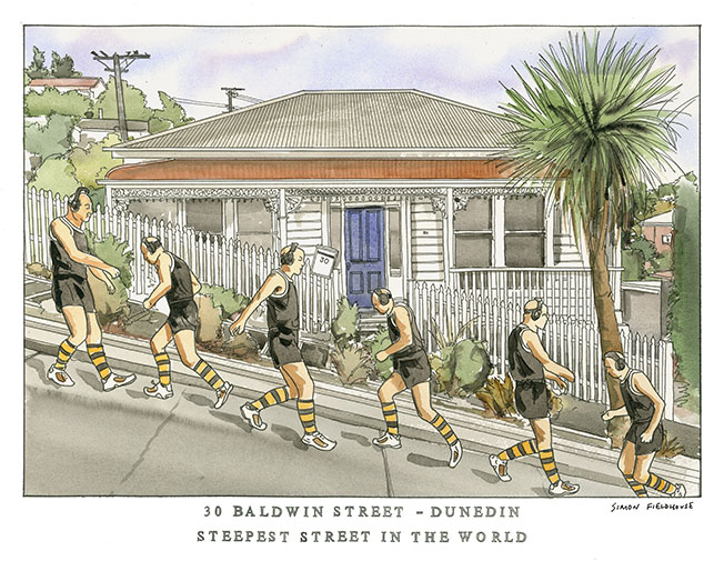
Baldwin Street Dunedin World's Steepest Street
Baldwin Street Dunedin World's Steepest Street is located in the residential suburb of North East Valley, 3.5 kilometres (2.2 mi) northeast of Dunedin's city centre. A short straight street a little under 350 metres (1,150 ft) long, Baldwin Street runs east from the valley of the Lindsay Creek up the side of Signal Hill towards Opoho, rising from 30 m (98 ft) above sea level at its junction with North Road to 100 m (330 ft) above sea level at the top,[2] an average slope of slightly more than 1:5. Its lower reaches are only moderately steep, and the surface is asphalt, but the upper reaches of this cul-de-sac are far steeper, and surfaced in concrete (200 m or 660 ft long), for ease of maintenance (bitumen—in either chip seal or asphalt—would flow down the slope on a warm day) and for safety in Dunedin's frosty winters. At its maximum, the slope of Baldwin Street is about 1:2.86 (19° or 35%). That is, for every 2.86 metres travelled horizontally, the elevation changes by 1 metre. The street's steepness was unintentional. As with many other parts of Dunedin, and indeed New Zealand, streets were laid out in a grid pattern with no consideration for the terrain, usually by planners in London. In the case of Baldwin Street (and much of the Dunedin street plan), the layout was surveyed by Charles Kettle in the mid-19th century. The street is named after William Baldwin, an Otago Provincial Councillor and newspaper founder, who subdivided the area. For cars it is a cul-de-sac, but Baldwin Street is linked across the top by Buchanan Street, a footpath following an otherwise unformed (i.e. unpaved) road linking it with Calder Avenue and Arnold Street, which are unformed in their upper reaches where Baldwin is steepest. The streets running parallel to Baldwin are all quite steep: Arnold Street (1:3.6), Dalmeny Street (1:3.7), and Calder Avenue (1:5.4).